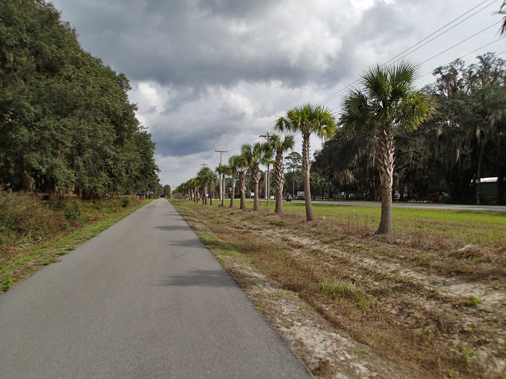
Nice oak trees and palm trees along the Florahome community.
Palatka-Lake Butler State Trail (FL)
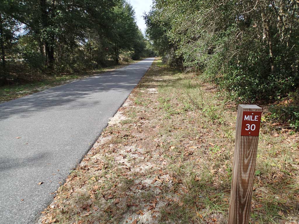
19 miles Asphalt (See Mile Note Below)
Rating: 9 (out of 10)
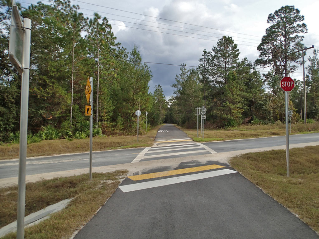
30 Road/Driveway Crossings (1-way)
9 People Encountered (Both Ways)
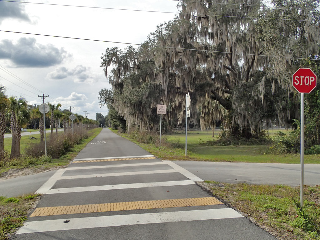
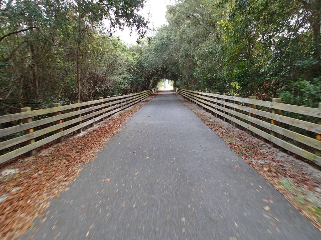
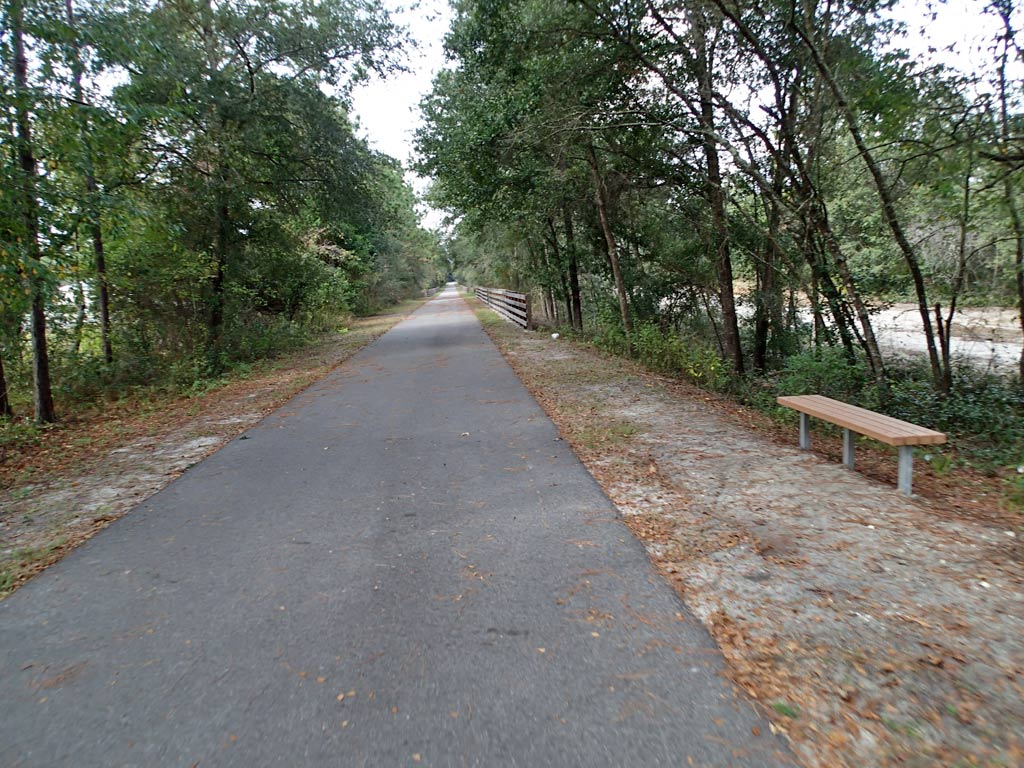
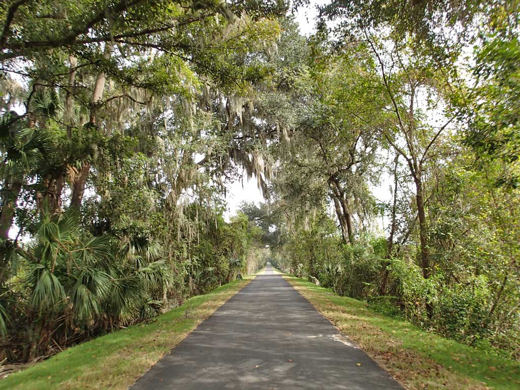
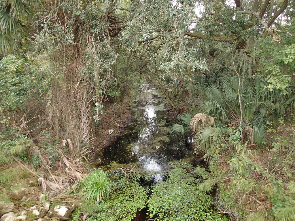
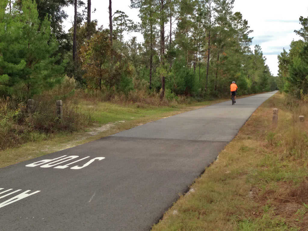
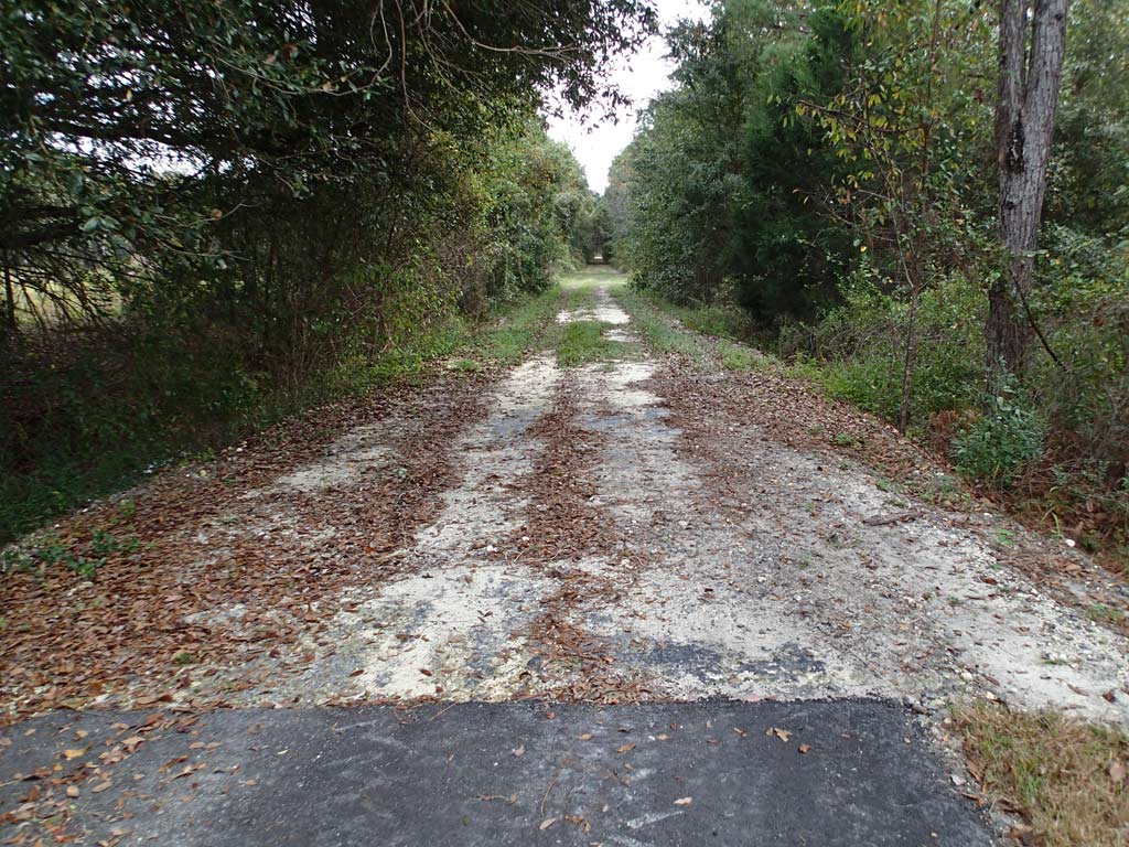
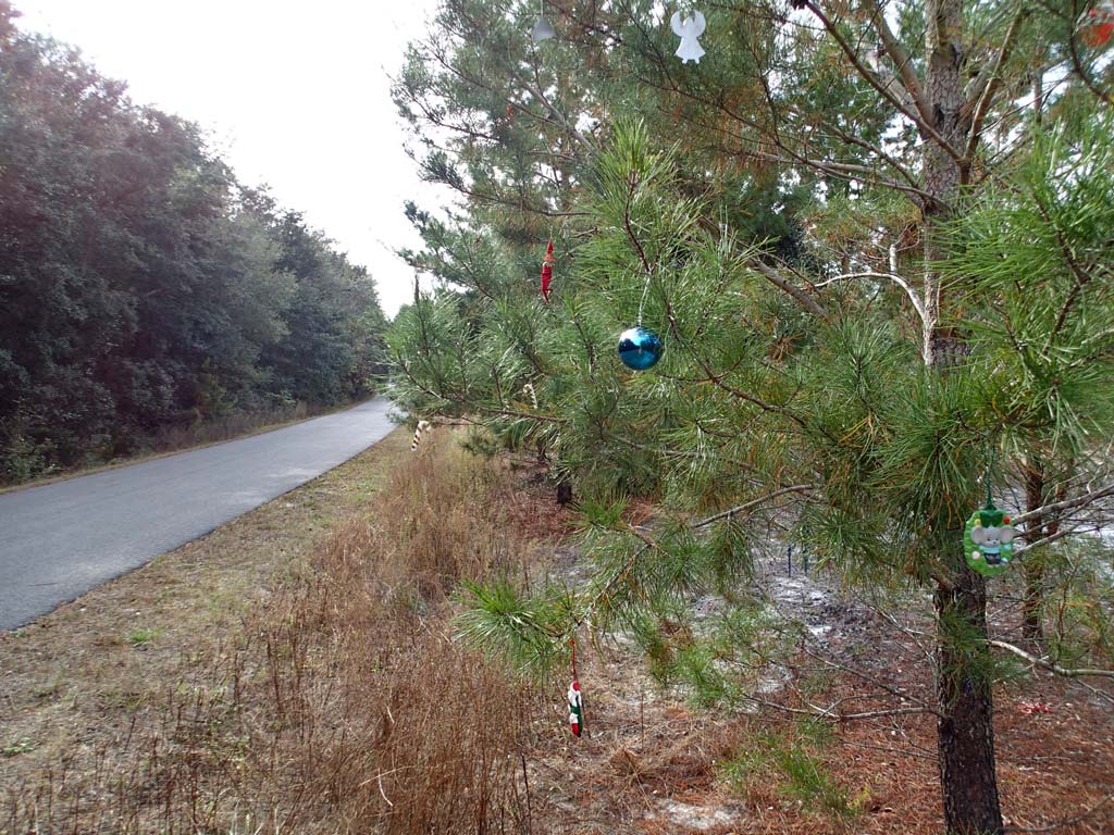
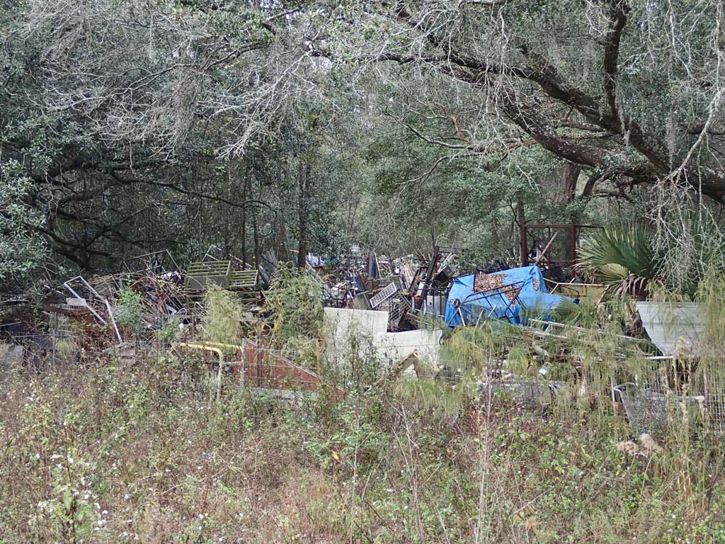
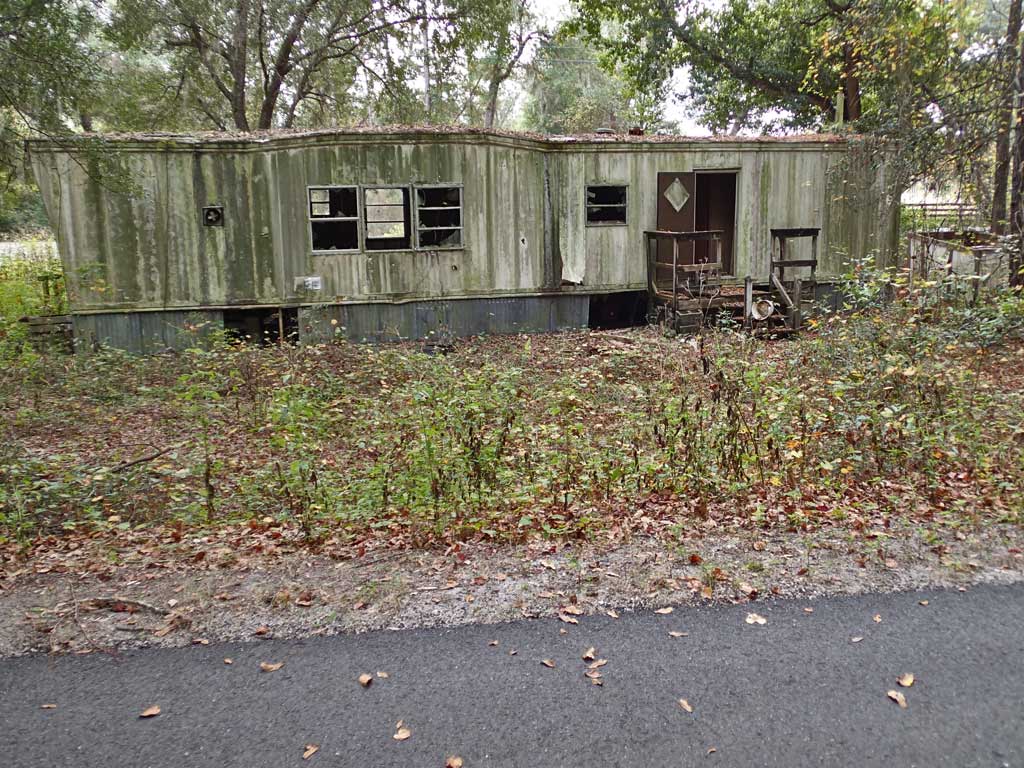
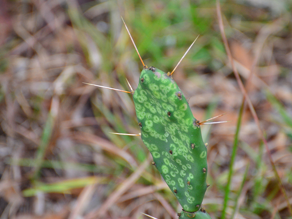
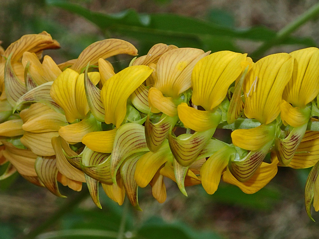
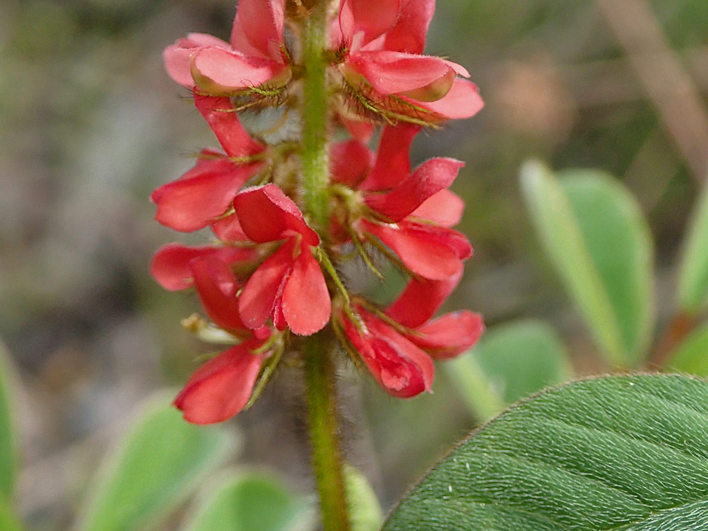
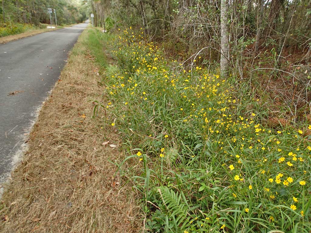
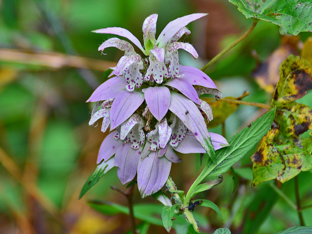
Pros: Very low number of crossings per mile and a low number of people using the trail means more time to enjoy the ride instead of slowing down for intersections and weaving around people traffic. The asphalt was very smooth and not a single root bump was felt or seen. A few benches were placed along the trail for a place to take a break. The elevation change is only about 100 feet along the entire very flat railroad grade trail meaning an easy ride. The trail closely follows busy Hwy 100 in some areas which provides nearby off-trail places to go for food, drink and restroom facilities. The trail also dips far away from Hwy 100 three times providing some quiet time away from the traffic. The trail intersects with an Etoniah Creek State Forest entrance which has some hiking trails and primitive camping. The canopy varies from open farmland views to dense trees that sun won't even shine through. Also seen were palm trees lining the trail and trailside ditches lined with wetland wildflowers. I don't remember seeing any litter along the trail.
Cons: There is only one restroom on this long trail which is not an adequate number but there are several convenience stores spread out along Hwy 100. The trail closely follows busy Hwy 100 for a good portion of the trail and that equates to traffic noise. Standing water in the trail side ditches could breed mosquitoes as was the case when I rode the trail.
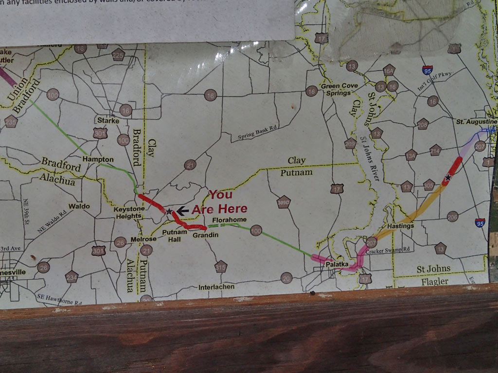
Viewpoint: In a nutshell, yes, I'd ride this trail again. It was like riding my own wide smooth interstate.There are plans to keep expanding the trail in both directions so that it eventually extends over 100 miles from Lake Butler to all the way to St. Augustine. Frequent changes in the scenery along this trail made for an interesting ride. I was sad to see the end of this trail and sad to realize I passed by an Etoniah Creek State Forest trail without checking it out. Lot of nice wildflowers seen along this trail too.
*Mileage Note: The website TrailLink indicates the Palatka-Lake Butler trail is only 14.5 miles long with the east side ending at Holloway Road but it has been extended another 4.5 miles and now ends at Roberts Lane. That meant riding an extra 9 miles round trip.
The downloadable GPS track of the Palatka-Lake Butler Trail can be found here:
http://www.everytrail.com/view_trip.php?trip_id=2457159
Click on any thumbnail below to bring up a larger view photo gallery with commentary.
19 miles Asphalt (See Mile Note Below)
Rating: 9 (out of 10)
30 Road/Driveway Crossings (1-way)
9 People Encountered (Both Ways)
Pros: Very low number of crossings per mile and a low number of people using the trail means more time to enjoy the ride instead of slowing down for intersections and weaving around people traffic. The asphalt was very smooth and not a single root bump was felt or seen. A few benches were placed along the trail for a place to take a break. The elevation change is only about 100 feet along the entire very flat railroad grade trail meaning an easy ride. The trail closely follows busy Hwy 100 in some areas which provides nearby off-trail places to go for food, drink and restroom facilities. The trail also dips far away from Hwy 100 three times providing some quiet time away from the traffic. The trail intersects with an Etoniah Creek State Forest entrance which has some hiking trails and primitive camping. The canopy varies from open farmland views to dense trees that sun won't even shine through. Also seen were palm trees lining the trail and trailside ditches lined with wetland wildflowers. I don't remember seeing any litter along the trail.
Cons: There is only one restroom on this long trail which is not an adequate number but there are several convenience stores spread out along Hwy 100. The trail closely follows busy Hwy 100 for a good portion of the trail and that equates to traffic noise. Standing water in the trail side ditches could breed mosquitoes as was the case when I rode the trail.
Viewpoint: In a nutshell, yes, I'd ride this trail again. It was like riding my own wide smooth interstate.There are plans to keep expanding the trail in both directions so that it eventually extends over 100 miles from Lake Butler to all the way to St. Augustine. Frequent changes in the scenery along this trail made for an interesting ride. I was sad to see the end of this trail and sad to realize I passed by an Etoniah Creek State Forest trail without checking it out. Lot of nice wildflowers seen along this trail too.
*Mileage Note: The website TrailLink indicates the Palatka-Lake Butler trail is only 14.5 miles long with the east side ending at Holloway Road but it has been extended another 4.5 miles and now ends at Roberts Lane. That meant riding an extra 9 miles round trip.
The downloadable GPS track of the Palatka-Lake Butler Trail can be found here:
http://www.everytrail.com/view_trip.php?trip_id=2457159
Click on any thumbnail below to bring up a larger view photo gallery with commentary.


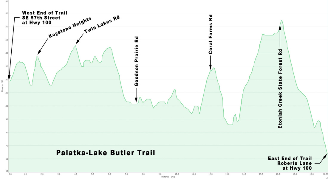
The Palatka - Lake Buter trail elevation only changes about 100 feet over 19 miles. The hills are railroad grade and easy to ride.
 RSS Feed
